Ranger Station in Mulholland Drive Los Angeles
Cal Poly Pomona ● Instructor: Jose Harasti ● Fall 2016
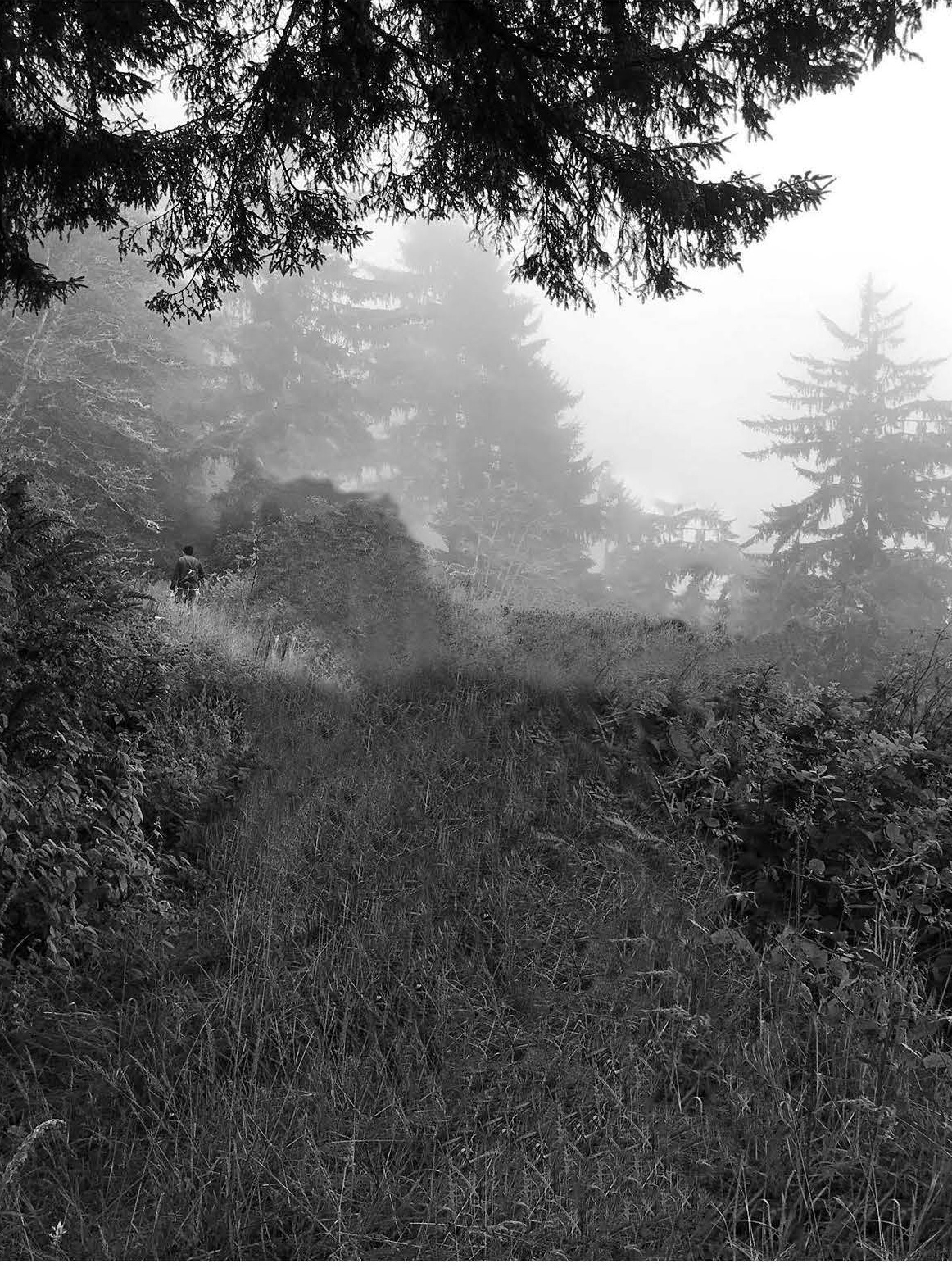
The course Arc201 of fall quarter was to be exposed to the subjects of site treatment, site documentation, site observation, and programming on a site. The terrain was analysis for which various area factors were review such as: access to the location, flora, fauna, sun path in the area, landmarks around the area, soil, and wind parameters in the area. The onsite analysis determined the location to be prime for a Landform Building. To learn the concepts and have an interactive experience of the core subject the Final Course Project was divided in four exercise which are:
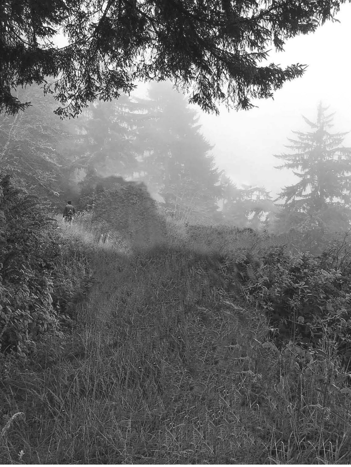
01. The ground zero was introduced on our site that is located on Farmer Fire Road that is near Mulholland drive in Hollywood. The architecture design was developed based on a given natural structure (microscopic structure Vitamin B).
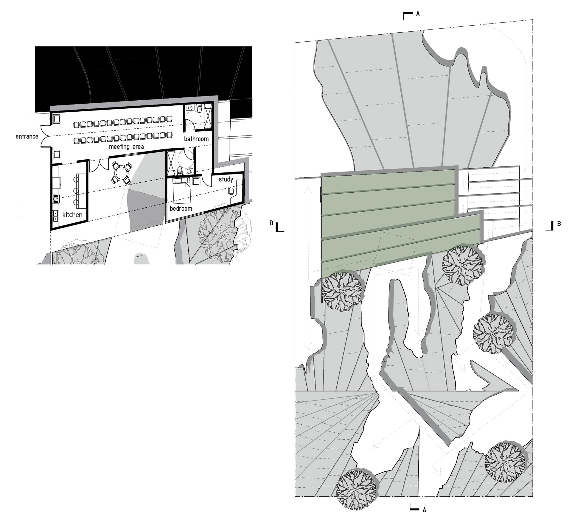
02. Defining the areas for hardscape and softscape. The model represents flat area as hardscape, and extruded areas as softscape.
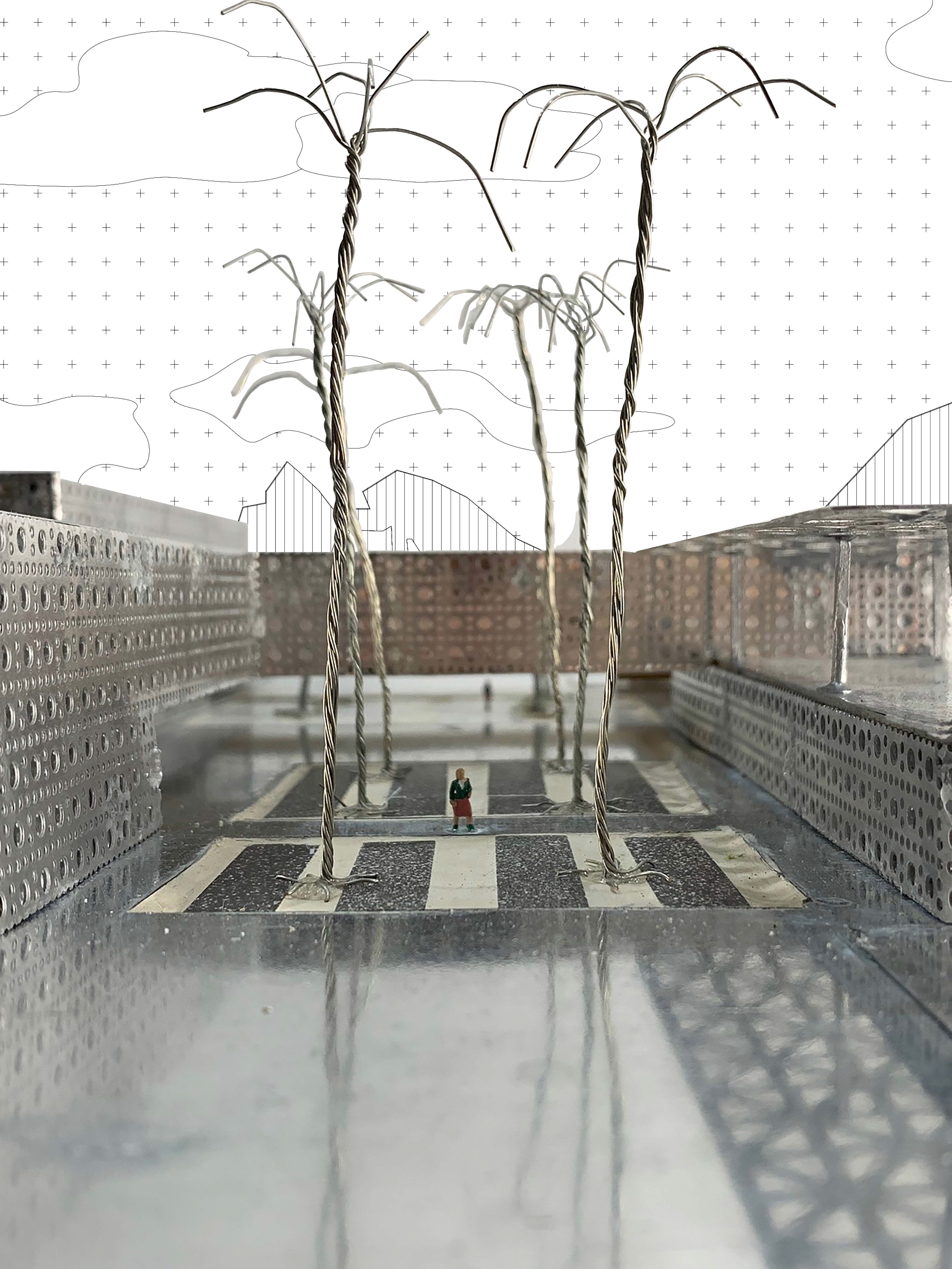
03. The Agent Zero is clarified to be a catch basin cistern for surface water, which is about twelve foot deep. The areas to be Softscape and Hardscape, composed of sixty percent and forty percent, respectively. In the softscape areas, five locations were to be determined to be positions for five native trees with an average tree crown of fifteen feet in diameter.
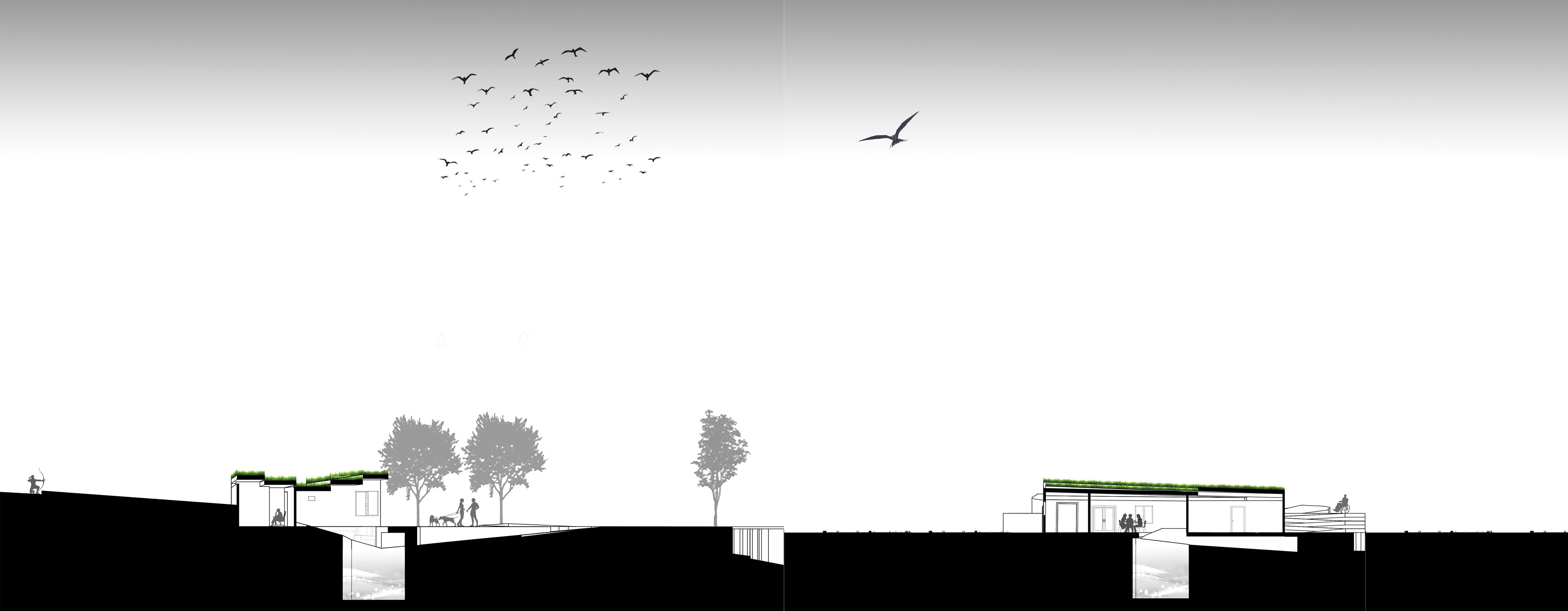
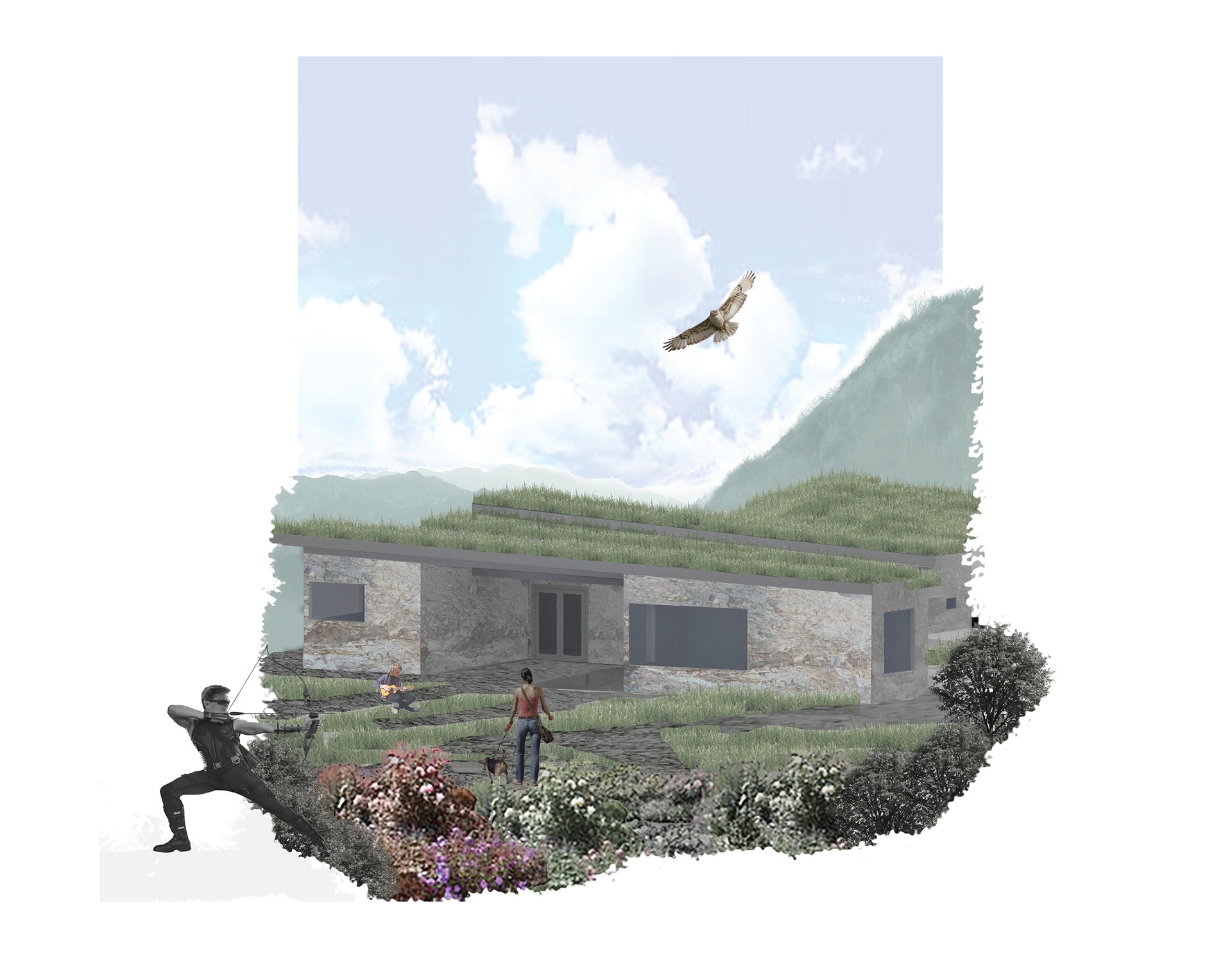
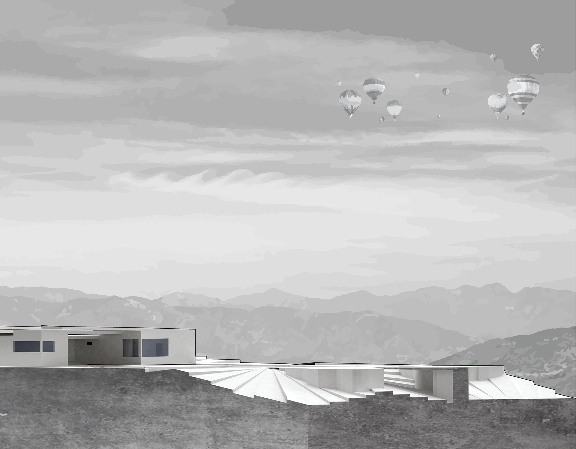
04. The location of the building was determined based on the largest flat area location near Zero Agent. The building area was relatively flat that area excavation was minimum or not needed. The roof of the building was designed based on the "Fan Design" to form a wave pattern design of the building. The architectural style of the building is a Landform Building, which incorporate the surrounding environment into the architectural design of the building.
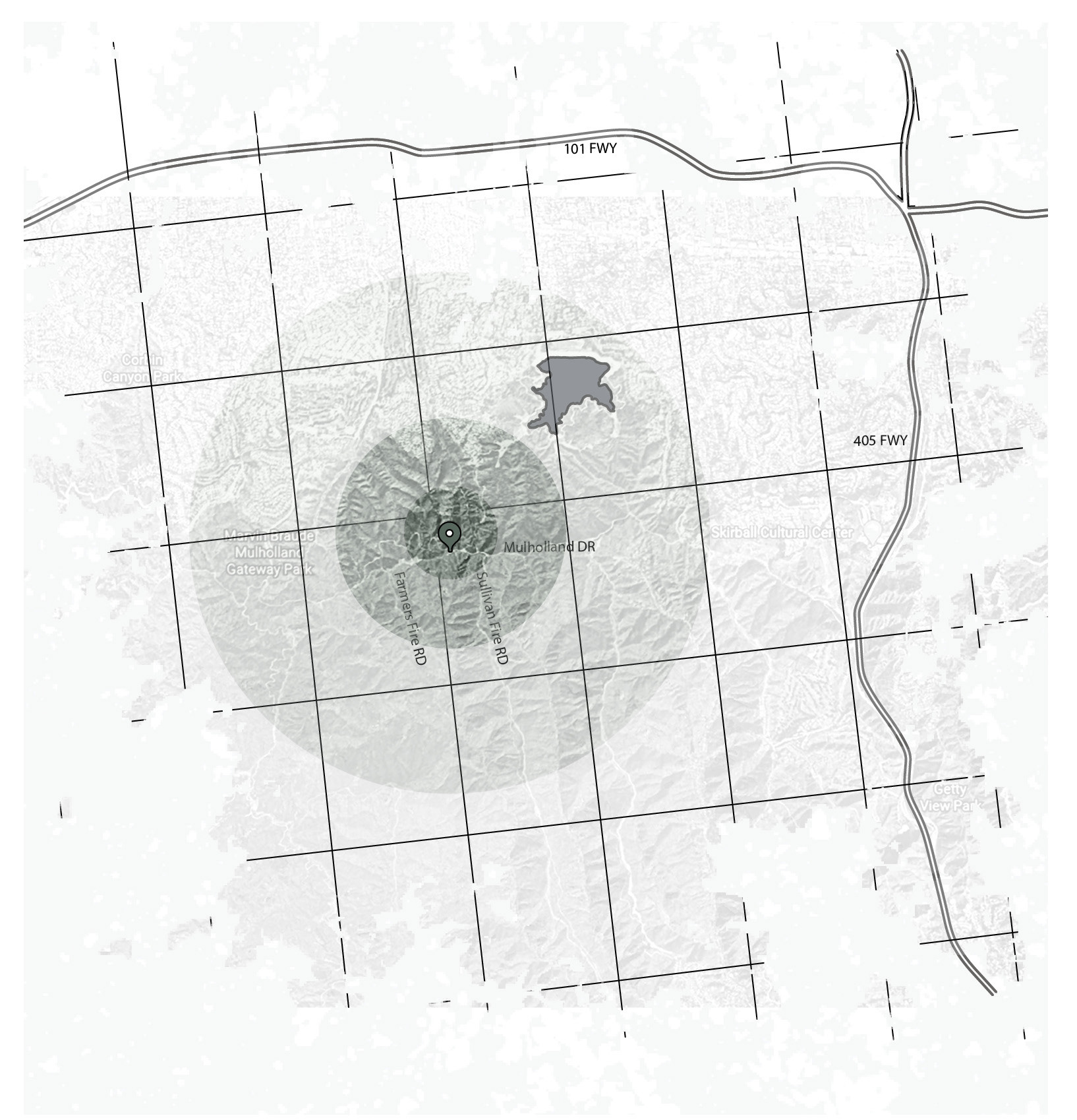
Site Analysis
.
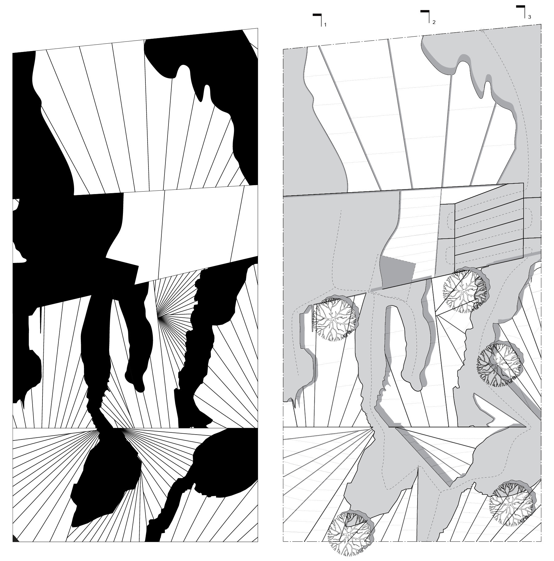
Site Plan
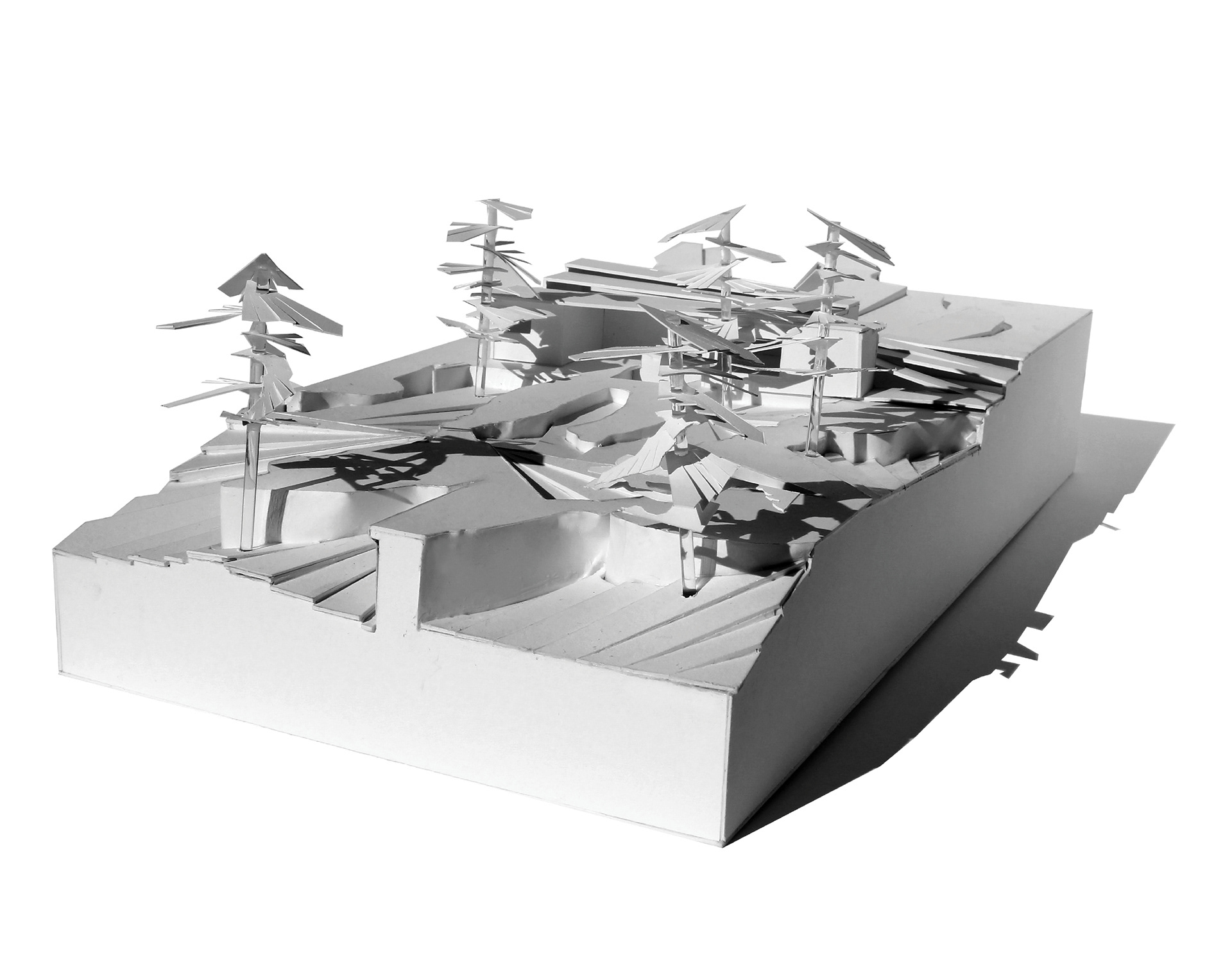
The Fields of Ground Zero were obtained from the microscopic structure of Vitamin B. The size of the microscopic image was increased and reduced (used various scales of the image), and various sizes were projected on the given topography with additional rotation of the and shapes to form the diagram. The differentiation of line and shapes was used to determine the light and dark spaces. The construction of the three-dimensional model was developed. In the model the paths were determine across the topology of the design. The process of the building the model was more of a set of rules and instruction that led to final outcome.
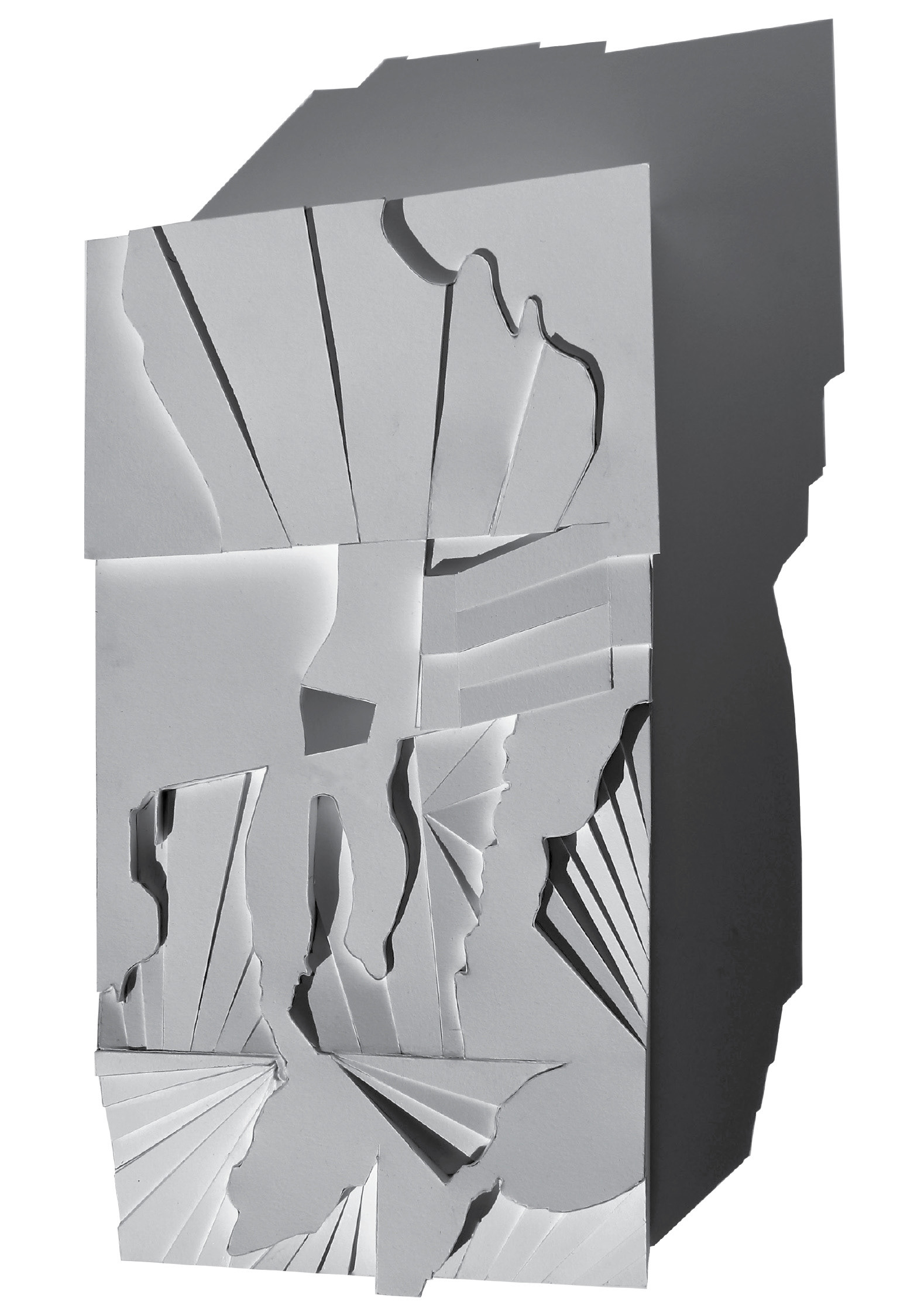
Photograph of Site Model
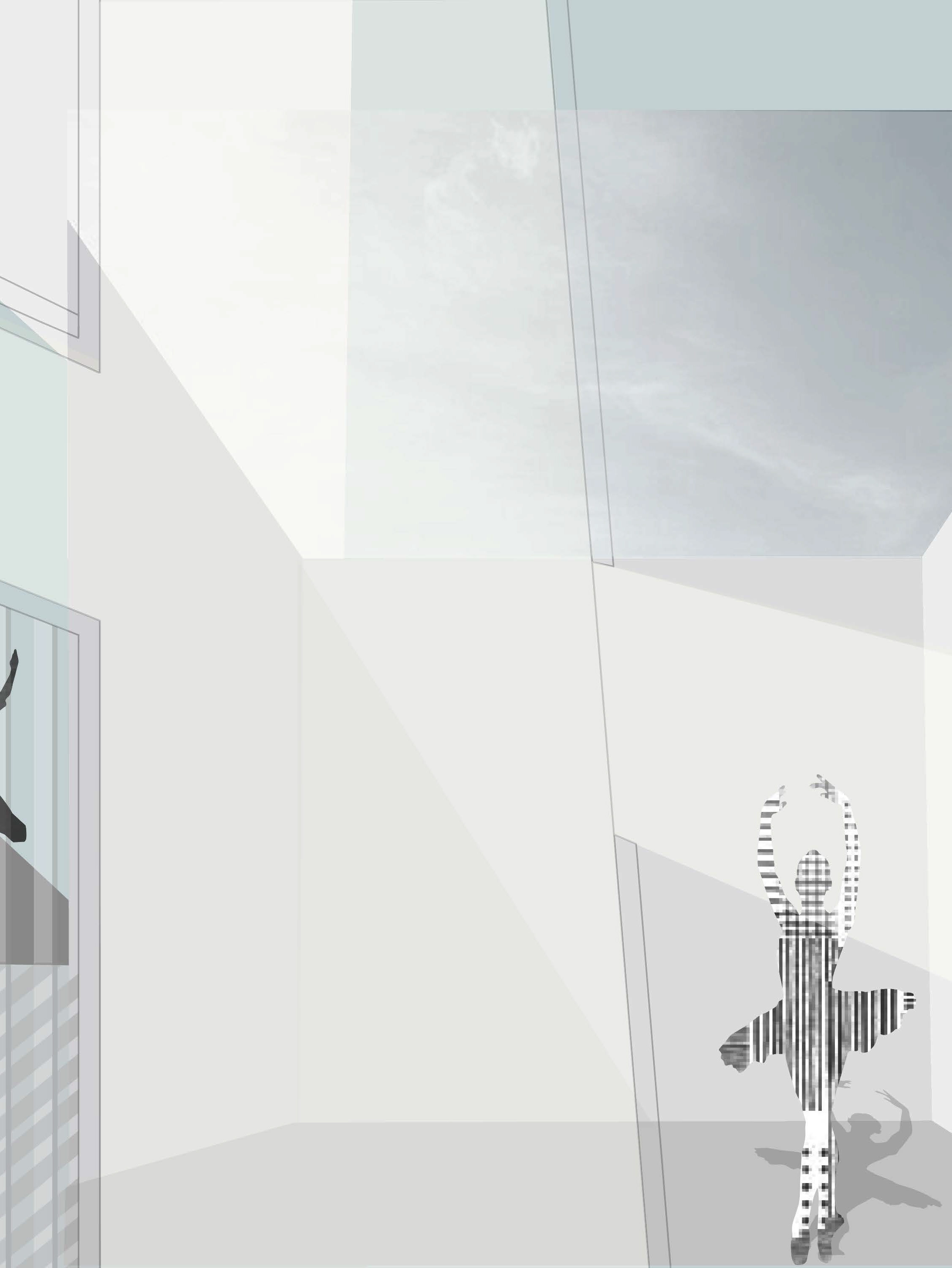
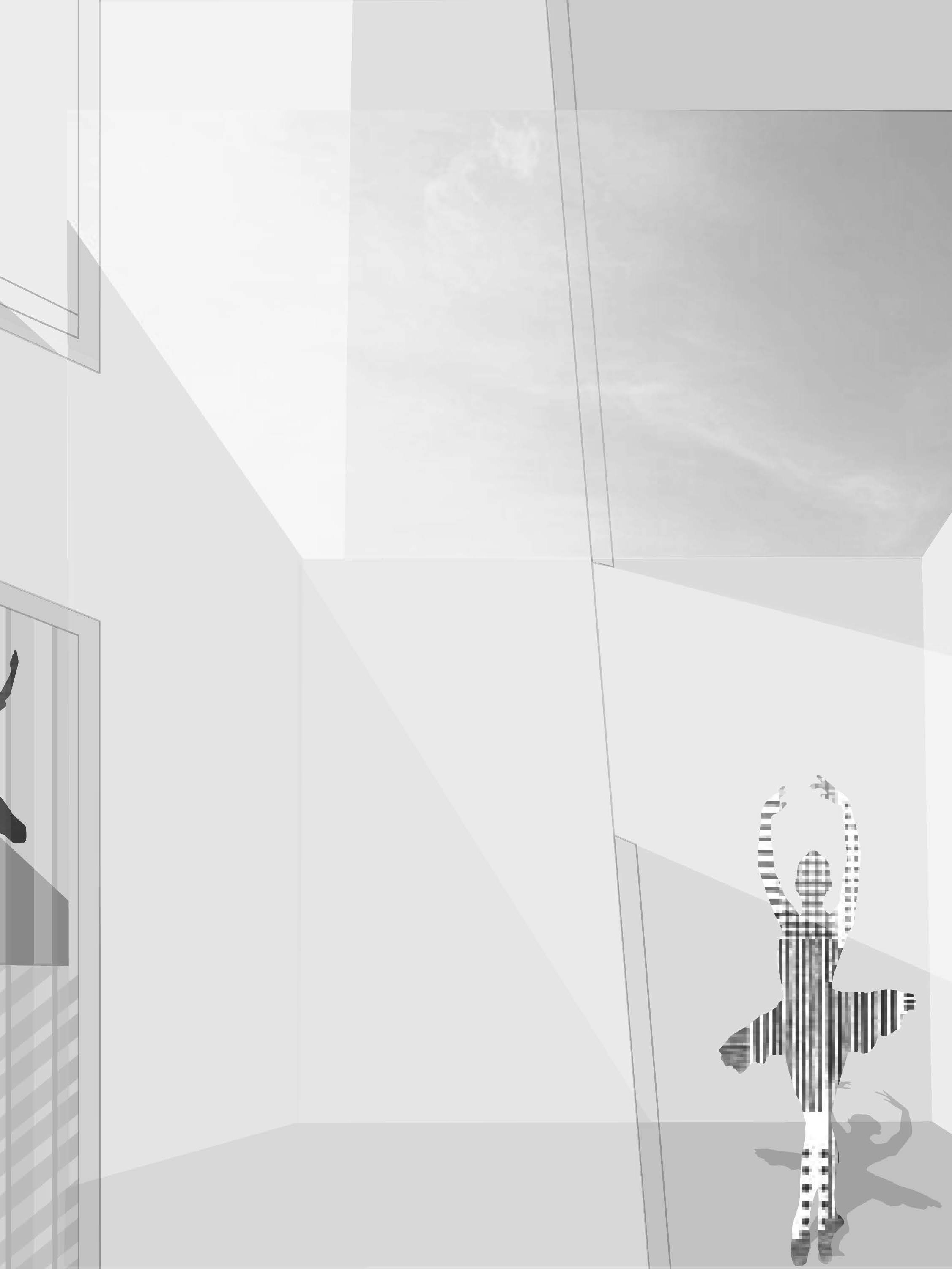
The Facility was to be incorporated its surrounding environment into its architecture design. Therefore, Landform building is in a sense a type of "Green building" that is more of a environmentally conscious design.