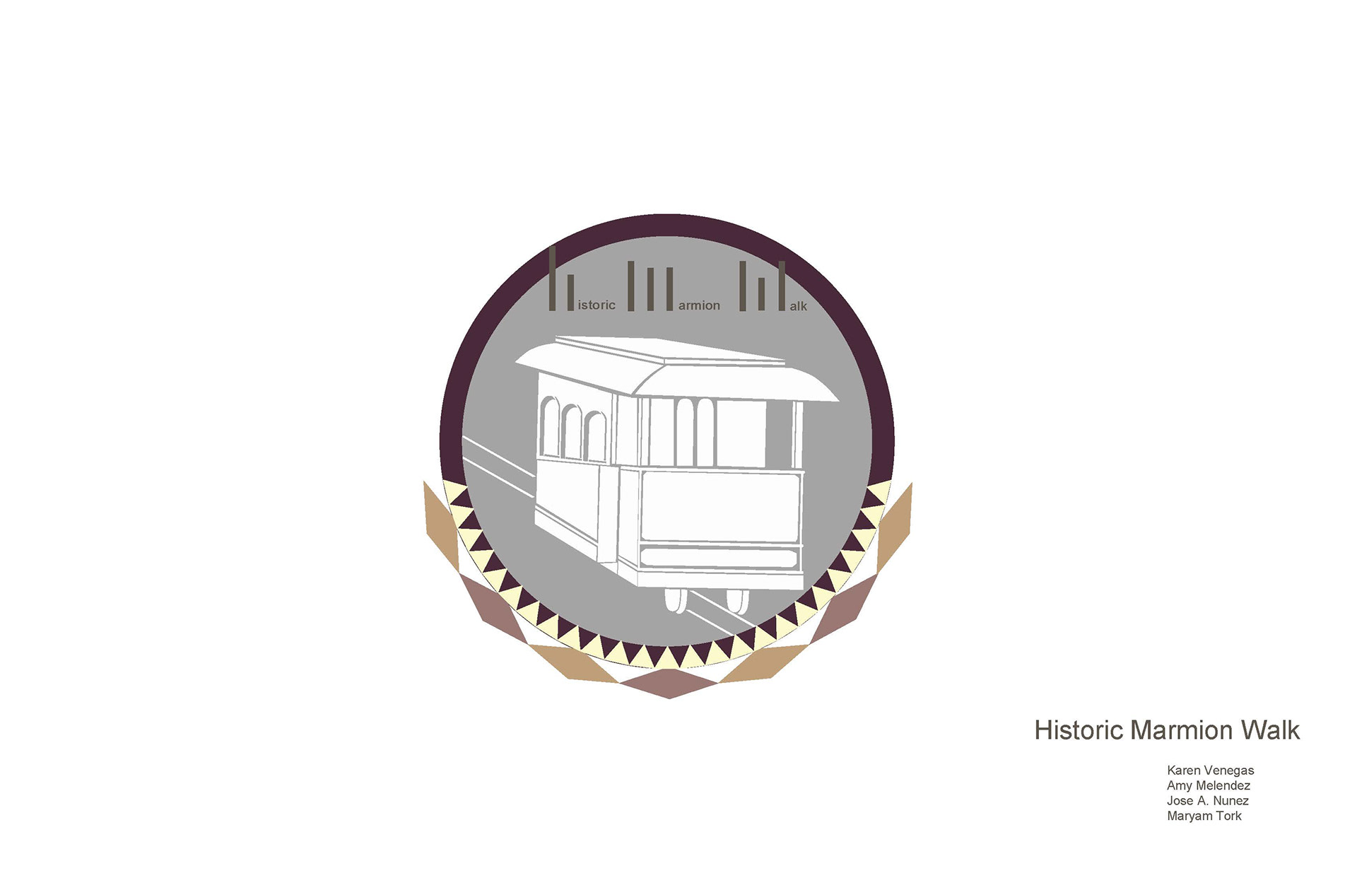
Marmion Mile Proposals in Los Angeles
Cal Poly Pomona ● Instructor: Irma Ramirez ● Fall 2016
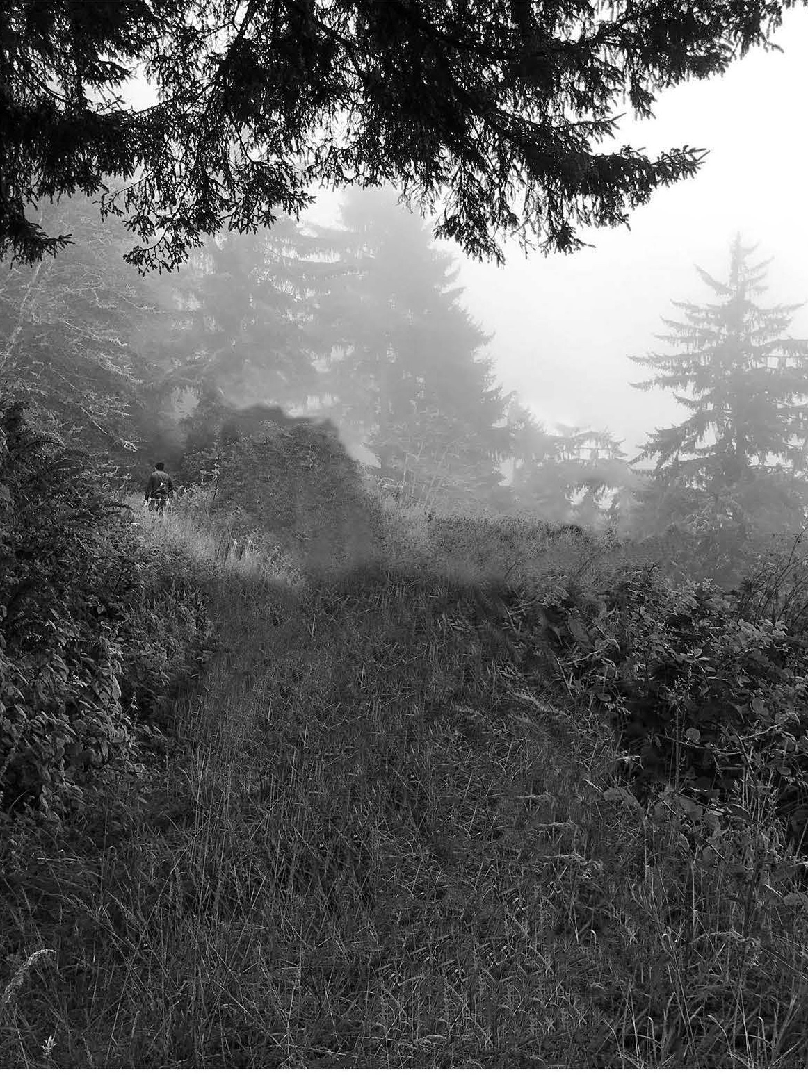
Through walking on the historic Marmion Mile, it was relatively close to walk from point A to point B through the historic sites on Marmion Mile. On this walk many of us struggled to walk down Marmion Way, even though the historic sites were relatively close, but at many points on Marmion Way we found out that there is a lack of sidewalks. Pedestrian accessibility is a critical aspect in which Marmion Way needs improvements. Although there is an existing highland park booklet with all the historic sites in the area, we are proposing something similar for the Historic Marmion Mile Walk. However, our map/booklet is based and focused on the Marmion Mile community. This map allows people to experience point A to B in a different way. Our vision is that Marmion Way becomes one the historic neighborhoods in Los Angeles, which is active and with innovative ideas to help their neighborhood and community, featuring a Historic Walk. There are many historic sites within close distance of Marmion Way that many Angelinos do not know about. This is a hidden treasure waiting to be discovered by the people in the surrounding areas and more. The way to become a historic neighborhood is when people experience the historic sites at the Historic Marmion Mile Walk, this will become the new spot in which Angelinos will hike and learn about the history of the area. With this walk many of the Angelinos will make their daily exercise or walk their dogs while learning about their neighborhood. On a time where Los Angeles is urging for a new identity with new skyscrapers reshaping the city, The Historic Marmion Mile Walk would be the perfect parallel to this idea of Los Angeles identity.
Proposals
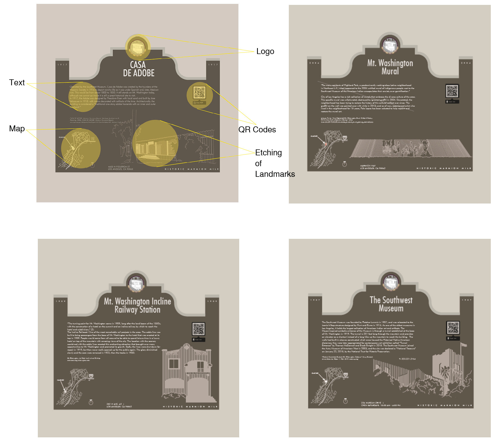
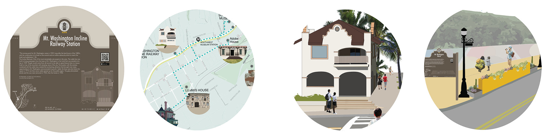
Marmion Mile Walk Plaques
These are meant to create a cohesive language for all the landmarks. Each site is important to the history of the city. To show this importance, we generated a plaque that gives all landmarks the same level of care.
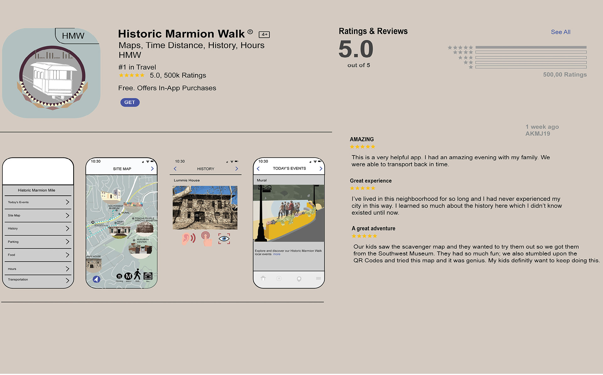
Marmion Mile Walk App
The app works to make it easy to navigate through the Marmion Mile Walk, where each landmark has its own section dedicated to its hours and activities. They also allow for users to easily access the map through QR codes that exist on the plaques. People visiting the site can see how the city and its landmarks have transformed throughout the years in the palm of their hands. There are verbal tours one can listen to. You can also see events on the daily and it has its own map you could use to navigate the wonderful Marmion Mile Walk.
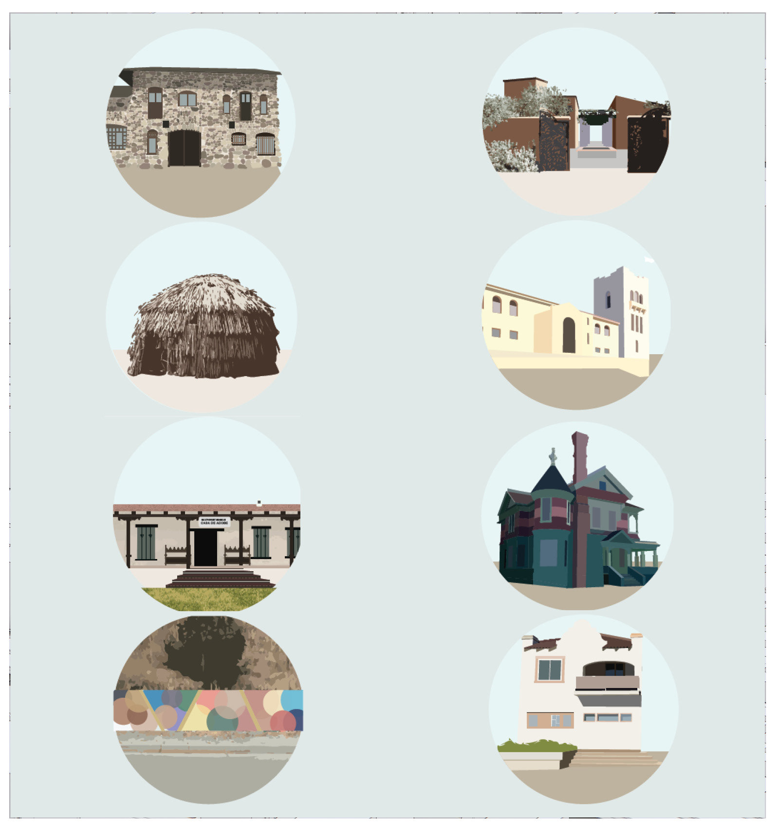
Graphic Logos for Scavenger Hunt
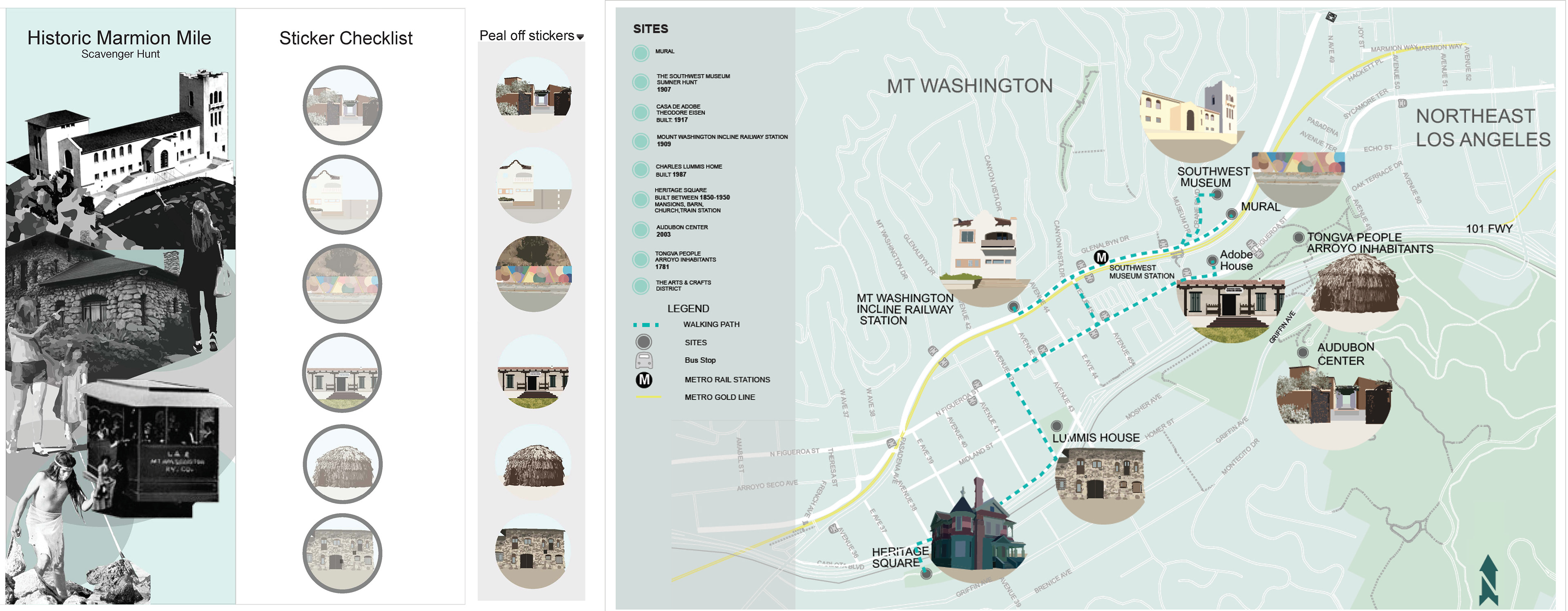
The Scavenger Hunt is meant to be a family adventure especially for the kids. They teach the kids about the history by making a fun activity. These can be found at any of the Landmarks. The existing booklet only gives some background about the history sites, but it does not give the user routes or ETA's from point A to B. Our booklet is designed for the visitor to interact with the community and the map is an asset to this idea. The way of interaction comes with a part of the map dedicated to community gatherings with real times and dates.
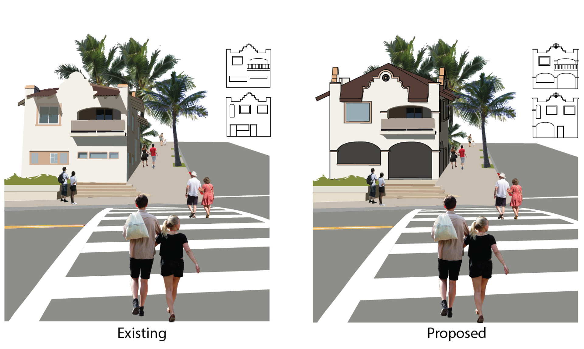
Restoration of the Incline Railroad Station
Not a lot of people know about this landmark. When you first arrive to it there is not much that tells use what it was. There are features still on the station that tell us of its past, but its hard to tell. We want to propose that the city buy the current residence and restore it to its original station so that it serves as the Marmion Mile walk information center.

Modifying the Mural
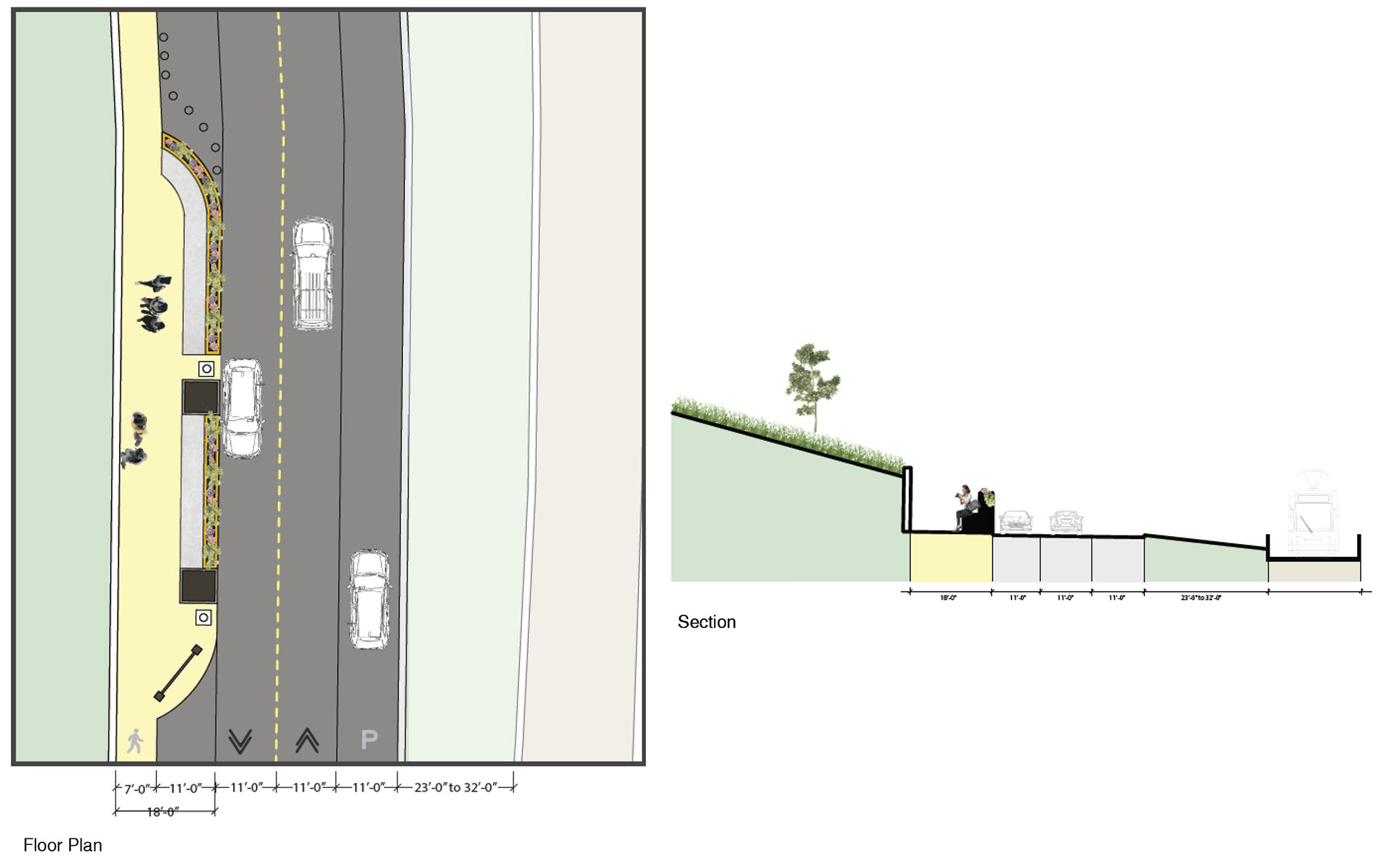
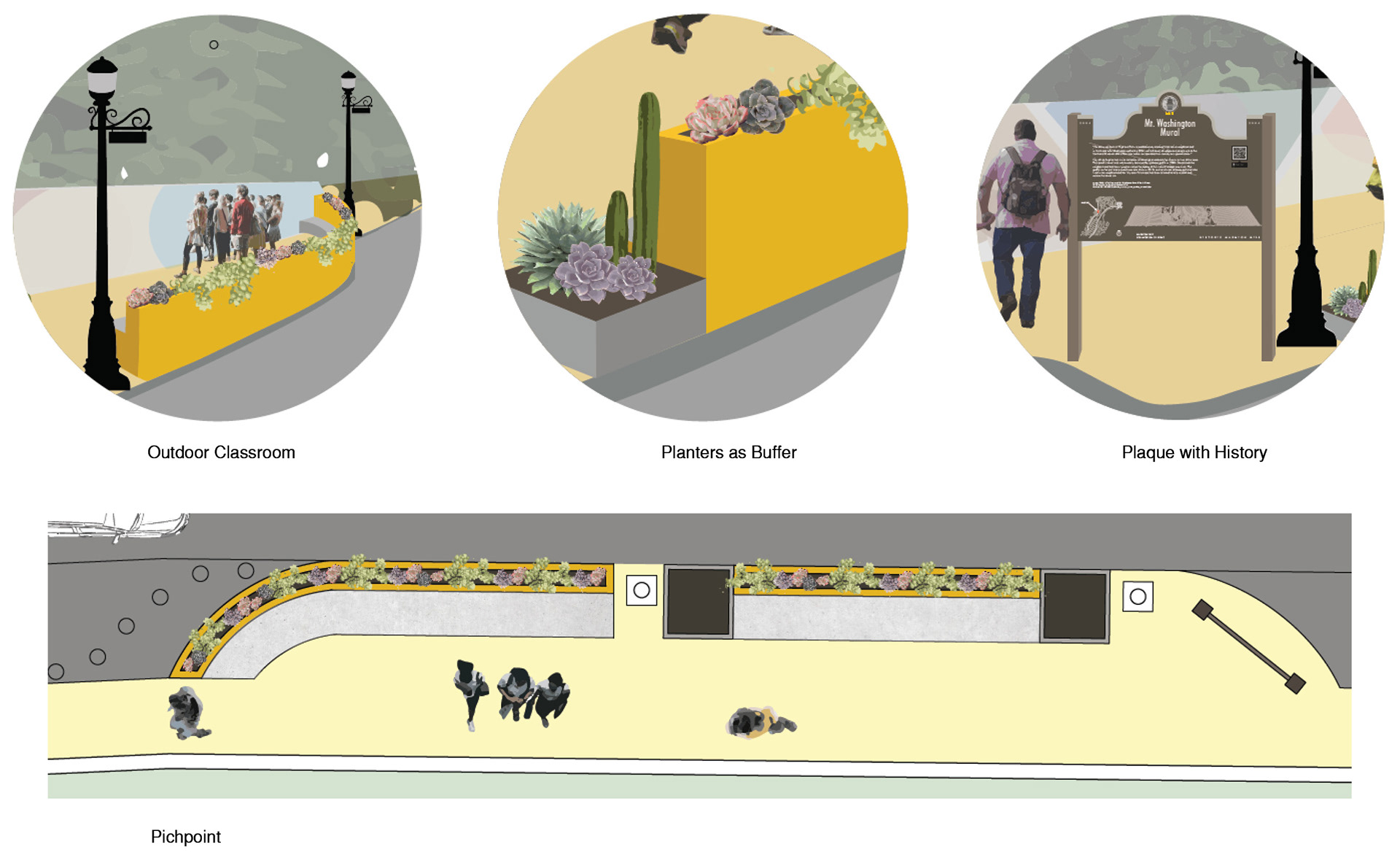
The Mural is coming back. It is going to be restored by a different artist but to its original mural. We want to propose a way a way to add visibility to it by adding a pitch point curb and more lighting. This would prevent tagging and the further destruction of the mural.